
If you are going to only attend one public meeting in Texarkana, this is the meeting you need to attend! The planning & design team will solicit input on these scenarios and gather community feedback during the meeting.
Read MoreTHE PROCESS
The US 380 Overlay District plan establishes efficient use of land while maintaining and enhancing local aesthetics. The concept presented in the design guidelines encourage a balance of land uses to serve the needs of citizens and ensure a diverse business economic base.
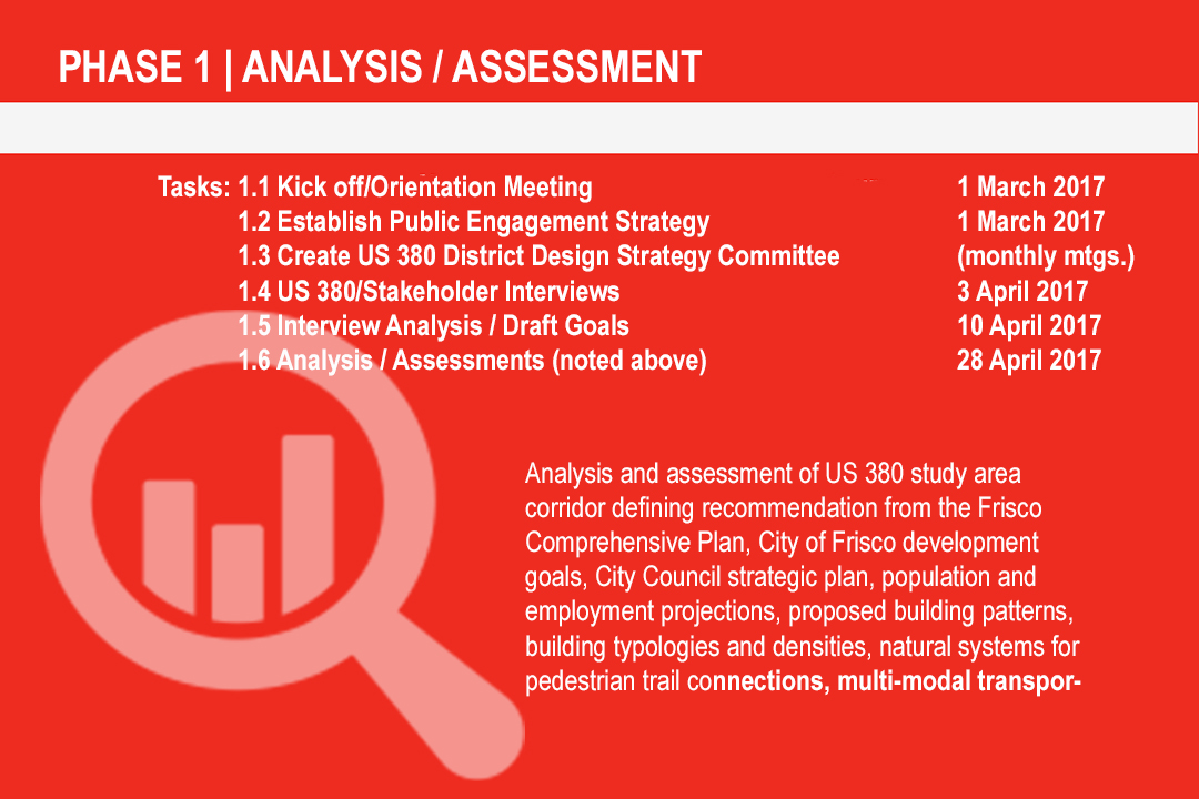
The following provides a proposed timeline of critical dates with corresponding deliverables / benchmarks (i.e. studies, graphics, reports, maps, presentations to Committee and/or Planning & Zoning Commission and Frisco City Council, etc.) that reflects the dates of the RFP. The following is a performance based schedule created by the Halff/JHP Team.
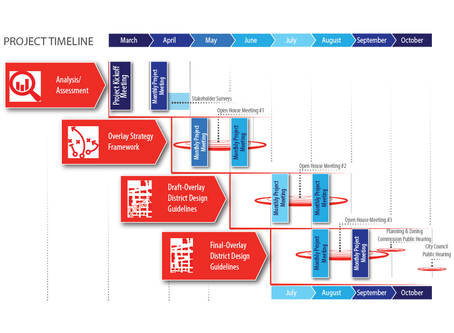
phase 1Analysis/Assessment
Analysis and assessment of US 380 study area corridor defining recommendation from the Frisco Comprehensive Plan, City of Frisco development goals, City Council strategic plan, population and employment projections, proposed building patterns, building typologies and densities, natural systems for pedestrian trail connections, multi‐modal transportation systems and more as required.
PHASE 2Overlay Strategy Framework
The phase brings together the goals for the corridor and a framework is created. Framework includes; building areas, multi‐modal transport networks, natural system corridors, typical infrastructure systems, green infrastructure systems, gateways, PLACEmaking nodes / edges and bonds them together with stakeholder goals for the corridor.
PHASE 3Draft Overlay Design Guidelines
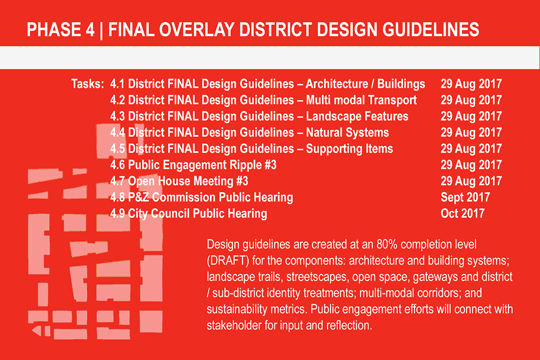
Design guidelines are created at an 80% completion level (DRAFT) for the components: architecture and building systems; landscape trails, streetscapes, open space, gateways and district / sub‐district identity treatments; multi‐modal corridors; and sustainability metrics. Public engagement efforts will connect with stakeholder for input and reflection.PHASE 4FINAL Overlay District Design Guidelines
Design guidelines are created at a 100% completion level (FINAL) for the components: architecture and building systems; landscape trails, streetscapes, open space, gateways and district / sub‐district identity treatments; multi‐modal corridors; and sustainability metrics. Public engagement efforts will connect with stakeholder for input and reflection.NEWS | EVENTS
We want to hear from you - visit the forum to get involved and make your voice heard.
MEETINGS
If you are going to only attend one public meeting in Texarkana, this is the meeting you need to attend!
Read More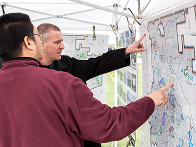
Join us for a public meeting where you will see different growth and development scenarios for Texarkana presented in detail. Review different scenarios for specific areas and topics of focus for US 380.
Read More
Lorem ipsum dolor sit amet, consectetur adipisicing elit. Ratione, voluptatem, dolorem animi nisi autem blanditiis enim culpa reiciendis et explicabo tenetur voluptate rerum molestiae eaque possimus exercitationem eligendi fuga.
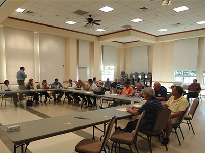
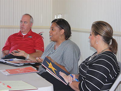
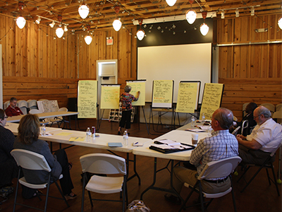
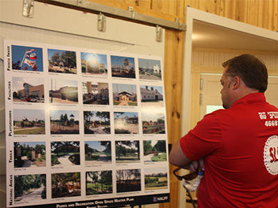
Read MorePROJECT MEETING PHOTOS

DOCUMENTS
2016 comprehensive plan
land use plan
Thoroughfare plan map
zoning ordinance
downtown development standards
SUBDIVISION ORDINANCE
TEAM
FRISCO
CONSULTANT TEAM
-
4
Development Economics
Jason Claunch
-
1
Landscape/Placemaking
Jonathan West, PLA
-
1
Urban Planning/Guidelines
Kendall Wendling, AICP
-
3
Architectural Guidelines
Brian Keith, AICP, AIA, LEED AP
Melissa Joesoef -
2
Multi-modal
Kurt Shulte, AICP
-
5
Public Engagement
Ryan Short
-
6
Green Engineering Opportunities
Kevin Shepherd, PE, ENV-SP
Mikel Wilkins -
1
Website Development
Letora Anderson
1. Halff Associates Inc.
2. Walter P. Moore
3. JHP Architects Urban Design
2. Walter P. Moore
3. JHP Architects Urban Design
4. Catalyst Commercial
5. CivicBrand
6. Verdunity
5. CivicBrand
6. Verdunity